линия вектора

|
|
ИНТЕНТ
ИНЖЕНЕРНАЯ ПЕРЕВОДЧЕСКАЯ КОМПАНИЯ
Основана в 1993 г. |
СПРАВОЧНИК ТЕХНИЧЕСКОГО ПЕРЕВОДЧИКА |
|
Тематики
EN
DE
FR
|
Учебное и справочное пособие по общетехническому письменному переводу EN>RU.
Часть 1. СПЕЦИФИКА ТЕХНИЧЕСКОГО ПЕРЕВОДА.
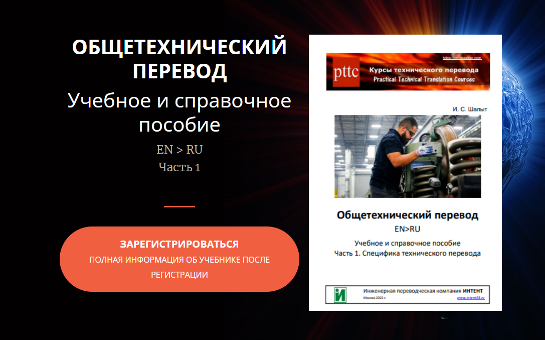
Подробности здесь: https://tsbook2.gigatran.com/
Учебник-справочник по электротехническому переводу EN>RU. Часть 1
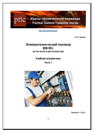
Подробности здесь: http://tsbook.gigatran.com/


